Image GVP-11676
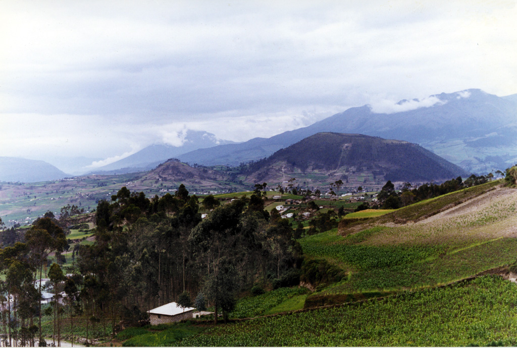
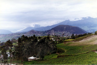
Cerro Tulabug (right-center), part of the Licto group of basaltic andesite to andesitic scoria cones, is seen here from the SW. The cones lie along the Río Chambo about 25 km SE of the city of Riobamba and just north of the town of Licto and form the southernmost area of Quaternary volcanism in the Interandean valley of Ecuador. The cloud-draped conical volcano in the left-center background is Reventador, and the Cordillera Real forms the right horizon.
Photo by Patricio Ramon, 1998 (Instituto Geofisca, Escuela Politecnica Nacional).
![]() This image is made available under the Creative Commons BY-NC 4.0 license terms.
This image is made available under the Creative Commons BY-NC 4.0 license terms.
Licto