Global Volcanism Program | Image GVP-11706
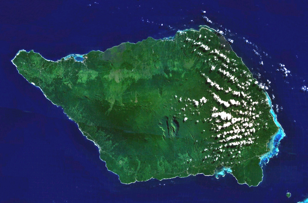
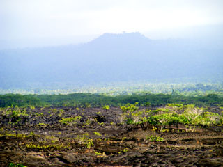
Savai'i, the largest and highest of the Samoan islands, is shown in this NASA Landsat image (N is to the top). The 75-km-long island consists of a shield volcano constructed along a WNW-ESE-trending rift zone that splits into two rifts on the E side of the island. The broad crest contains numerous scoria cones, some of which were the source of historical eruptions that produced lava flows that reached the sea.
NASA Landsat 7 image (worldwind.arc.nasa.gov)
![]() This image is made available as a Public Domain Work, but proper attribution is appreciated.
This image is made available as a Public Domain Work, but proper attribution is appreciated.
Keywords: island volcano
Savai'i