Image GVP-11707
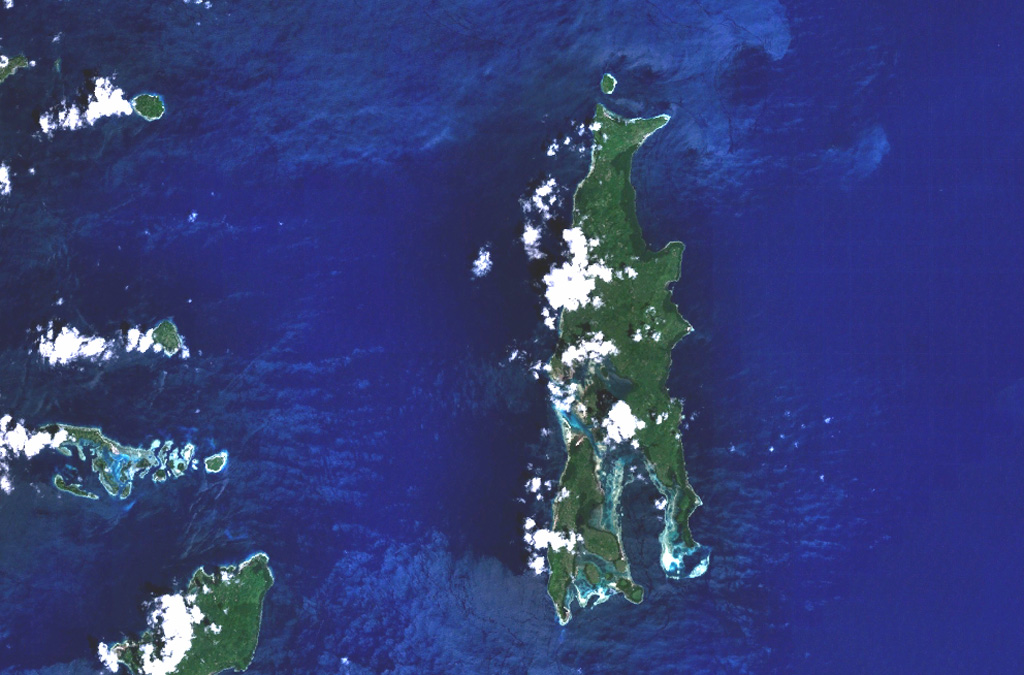
Gunung Tigalalu is located at the northern end of elongated Kayoa Island (center), which straddles the equator and is the southernmost of a chain of small volcanic islands off the western coast of Halmahera Island (out of view to the right). North is to the top in this NASA Landsat image. Tigalalu forms a N-S-trending volcanic ridge at the north end of the island, part of which is flanked by coral limestones.
NASA Landsat 7 image (worldwind.arc.nasa.gov)
![]() This image is made available as a Public Domain Work, but proper attribution is appreciated.
This image is made available as a Public Domain Work, but proper attribution is appreciated.
Tigalalu