Image GVP-11712
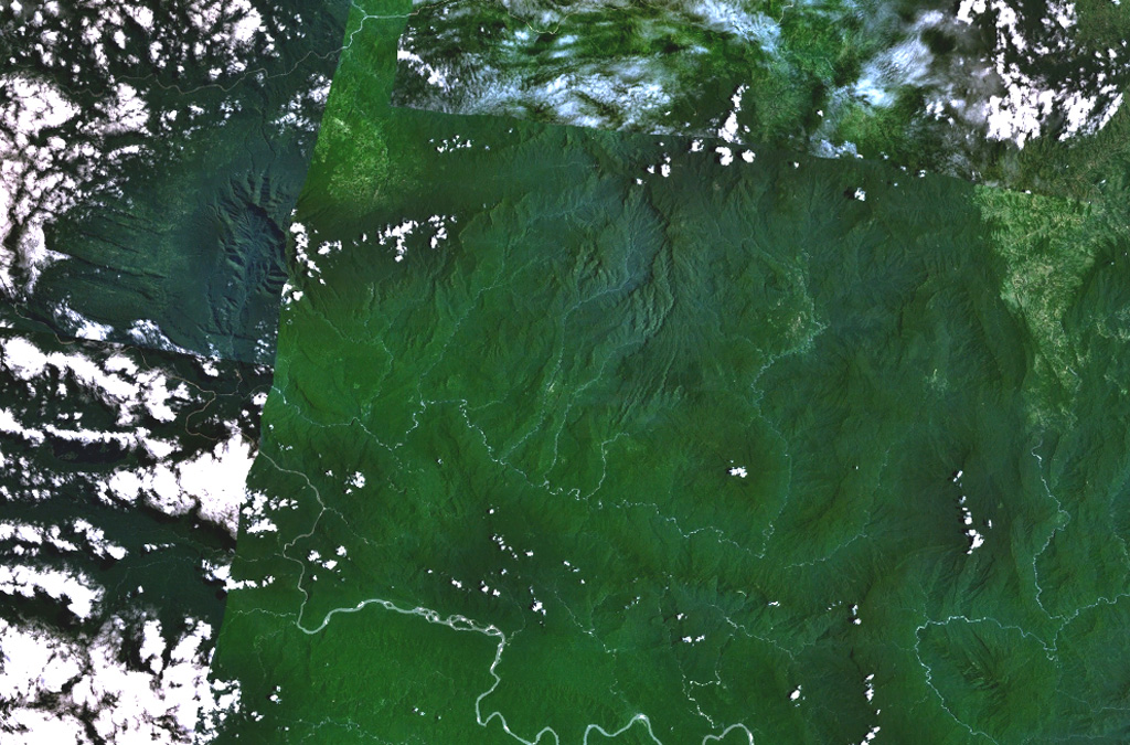
The broad depression above the center of this composite NASA Landsat image of Papua New Guinea (with north to the top) is Crater Mountain. Although this arcuate chain of peaks 3000 m or more in height is extensively eroded, steep-sided valleys to the north and east are floored by lava flows and other young volcanic features. The Purari River cuts across the bottom of the image, and the smaller Pio River parallels it to the north, south of Crater Mountain.
NASA Landsat 7 image (worldwind.arc.nasa.gov)
![]() This image is made available as a Public Domain Work, but proper attribution is appreciated.
This image is made available as a Public Domain Work, but proper attribution is appreciated.

Crater Mountain