Global Volcanism Program | Image GVP-11726
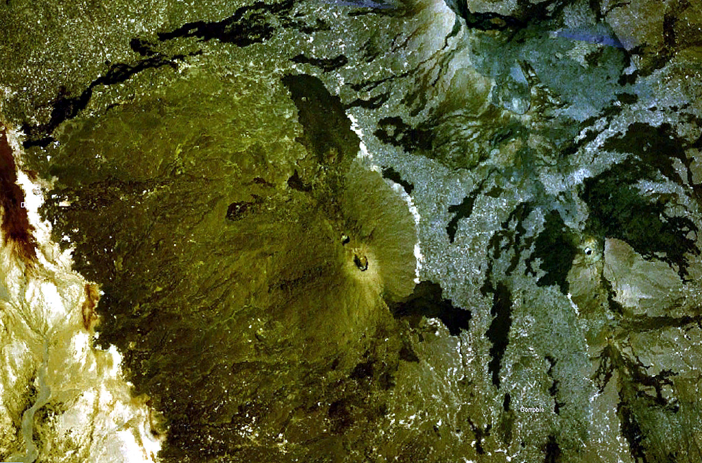
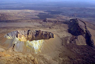
The prominent peak near the center of this NASA Landsat image (with north to the top) is Ale Bagu, also known as Ummuna. This elongated stratovolcano is the highest of the Erta Ale Range volcanoes. The main crater is the 750 x 450 m feature prominent in this image. The light-colored Roram Plain lies at the lower left, and lava flows from Hayli Gubbi volcano are visible at the right.
NASA Landsat 7 image (worldwind.arc.nasa.gov)
![]() This image is made available as a Public Domain Work, but proper attribution is appreciated.
This image is made available as a Public Domain Work, but proper attribution is appreciated.
Keywords: lava flow | remote sensing | crater | stratovolcano
Hayli Gubbi

Ale Bagu