Global Volcanism Program | Image GVP-11729

A caldera 4 x 5 km wide cuts the summit of Adwa volcano above the center of this NASA Landsat image with N to the top. This prominent volcano (also known as Aabida, Amoissa, or Dabita) is in the southern Afar area immediately E of Ayelu volcano, which lies above and to the left of the westernmost flank lava flow. These prominent young basaltic lava flows were erupted from vents on the W, E, and S flanks of Adwa volcano and overlap a sedimentary plain to the SE.
NASA Landsat 7 image (worldwind.arc.nasa.gov)
![]() This image is made available as a Public Domain Work, but proper attribution is appreciated.
This image is made available as a Public Domain Work, but proper attribution is appreciated.
Keywords: remote sensing | crater | caldera
Ayelu
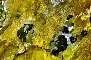
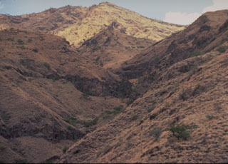
Adwa