Global Volcanism Program | Image GVP-11744
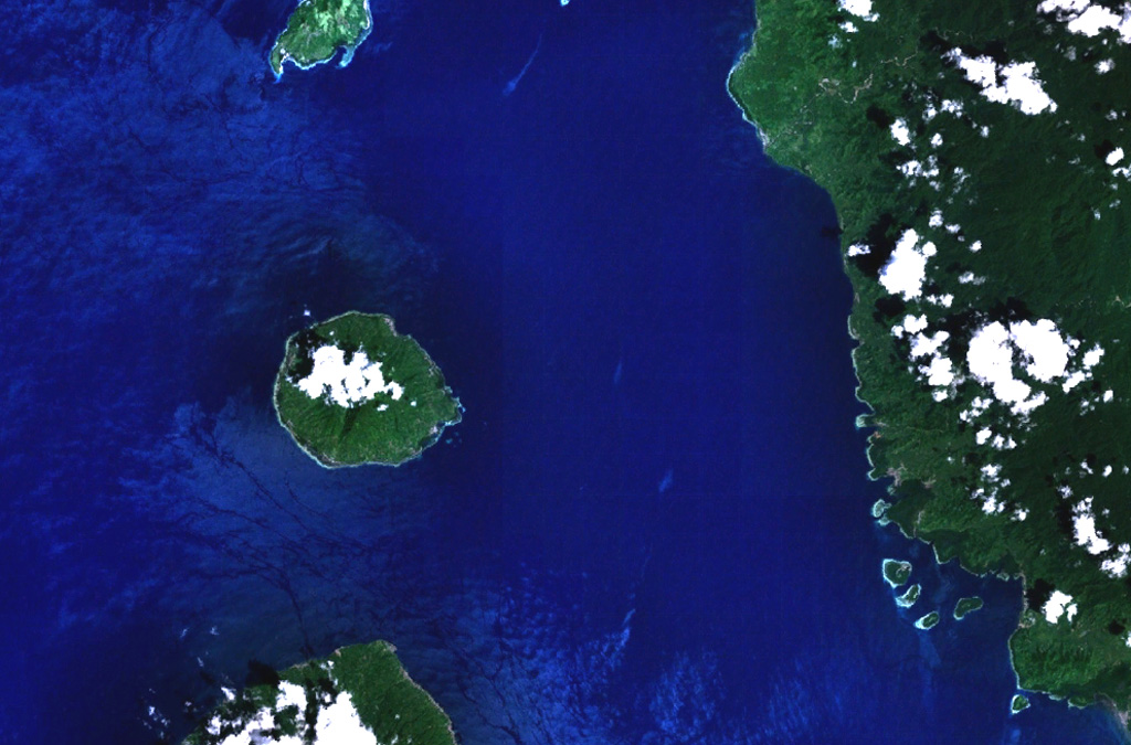
Clouds cap the top of the 5-km-wide island of Moti (left-center), also known as Motir. This island is located north of Makian (bottom-left) and south of Mare (top-left) in this NASA Landsat image. Moti lies along a N-S-trending chain of islands off the western coast of Halmahera Island (right). The truncated, conical island of Moti is surrounded by coral reefs, and contains a crater on its SSW side.
NASA Landsat 7 image (worldwind.arc.nasa.gov)
![]() This image is made available as a Public Domain Work, but proper attribution is appreciated.
This image is made available as a Public Domain Work, but proper attribution is appreciated.

Moti