Global Volcanism Program | Image GVP-11746
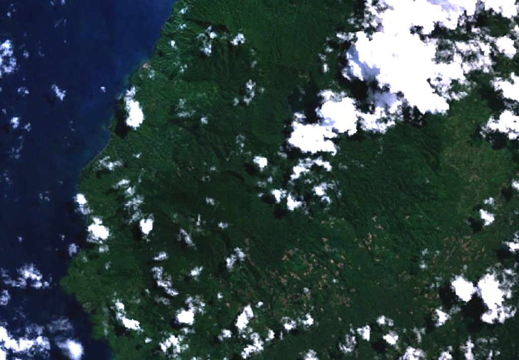
The twin caldera complex of Todoko-Ranu appears in this NASA Landsat image of western Halmahera Island (with north to the top). Todoko caldera (the circular feature just left of center) lies SW of nested calderas at Ranu, the northern of which contains a lake, faintly visible above the clouds above and to the right of the center of the image. No historical eruptions have been reported from the complex, but fumaroles and hot springs are present, and youthful-looking lava flows have reached the sea.
NASA Landsat 7 image (worldwind.arc.nasa.gov)
![]() This image is made available as a Public Domain Work, but proper attribution is appreciated.
This image is made available as a Public Domain Work, but proper attribution is appreciated.

Todoko-Ranu