Global Volcanism Program | Image GVP-11755
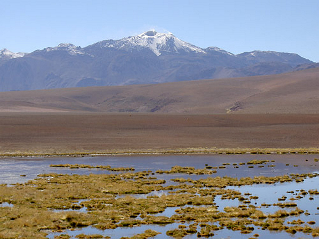
Volcán Putana, seen here from the west, shows vigorous fumarolic activity at its 5890-m-high summit. Snow forming a thin diagonal line below and to the right of the summit marks a road leading to a sulfur-mining operation at the summit of the volcano. Putana is also known as Jorgencal or Machuca and is part of a large, roughly N-S-trending volcanic complex that covers an area of 600 km2 along the Chile-Bolivia border. Postglacial dacitic lava domes and short, thick lava flows form the main edifice.
Photo by Joël Boyer, 2006 (L.A.V.E.)
![]() This image is made available under the Creative Commons BY-NC 4.0 license terms.
This image is made available under the Creative Commons BY-NC 4.0 license terms.
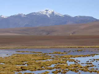
Putana