Global Volcanism Program | Image GVP-11767
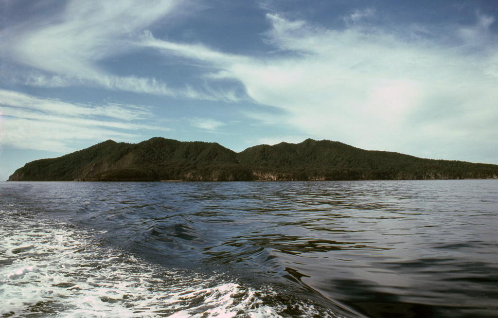
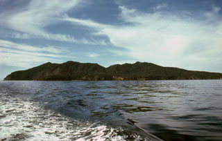
Mayor Island in the Bay of Plenty is seen here from the W. The low, 4-km-wide island, also known as Tuhua, is the summit of the broad 15-km-wide volcano. A 3-km-wide caldera formed during two or three collapse events, the latest of which followed a major explosive eruption about 6,300 years ago. Mayor Island was recognized as an active volcano only within the past two decades. Its latest eruption may have occurred only 500-1,000 years ago.
Photo by Malcolm Buck, 1980.
![]() This image is made available under the Creative Commons BY-NC 4.0 license terms.
This image is made available under the Creative Commons BY-NC 4.0 license terms.
Keywords: island volcano
Tuhua/Mayor Island