Global Volcanism Program | Image GVP-11893
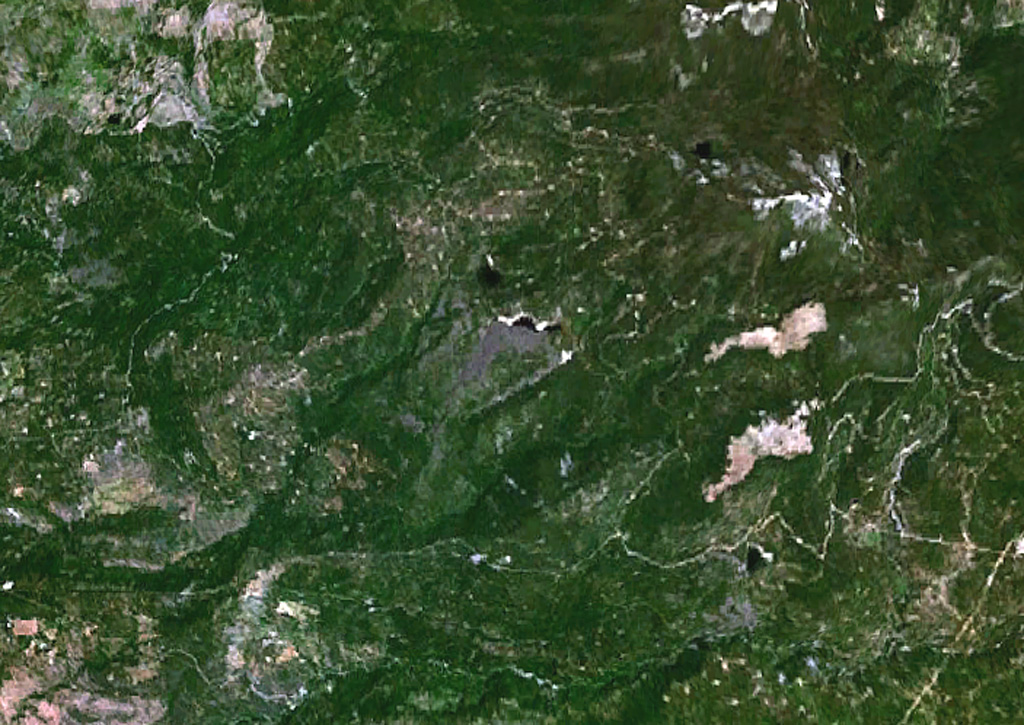
The small grayish area at the center of this NASA Landsat image is a lava flow from the Silver Lake cinder cone. Lava flows from the cone dammed up drainages, forming two small black-colored lakes, Silver Lake and Arthur Lake. Another small dark-colored lake at the lower right, south of the two large elongated light-colored areas, was formed when lava flows from the Buckhorn Lake cinder cone blocked a stream valley.
NASA Landsat 7 image (worldwind.arc.nasa.gov)
![]() This image is made available as a Public Domain Work, but proper attribution is appreciated.
This image is made available as a Public Domain Work, but proper attribution is appreciated.

Silver Lake Volcanic Field