Global Volcanism Program | Image GVP-11996
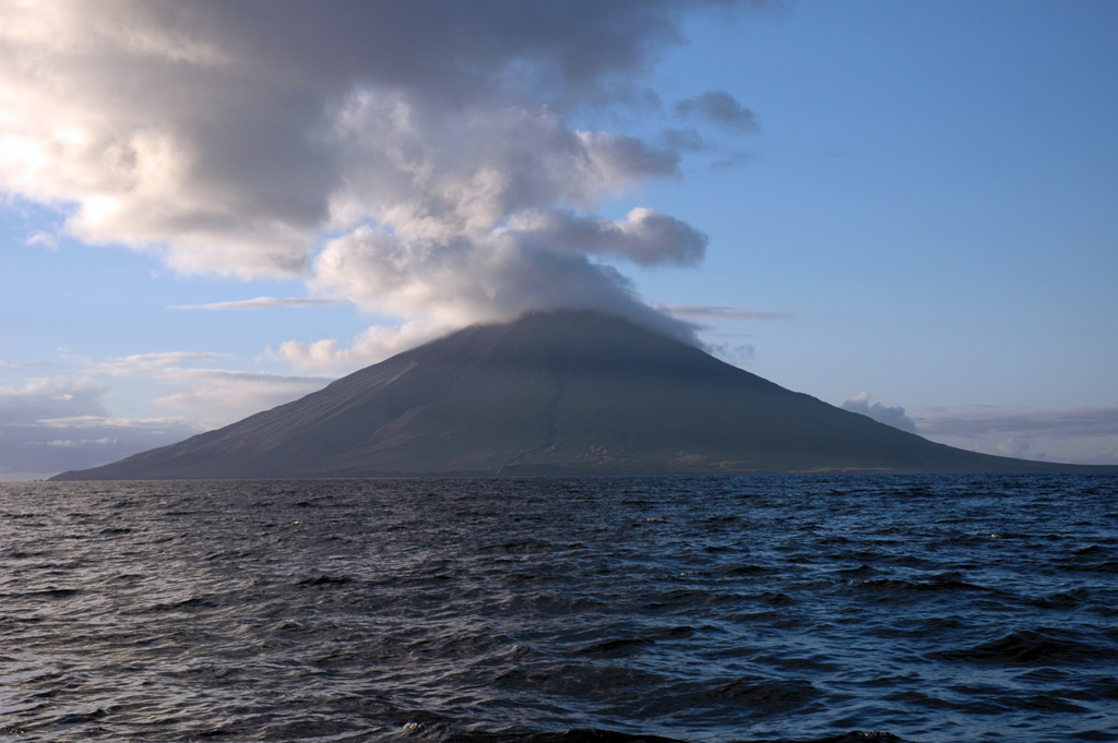
The 6 x 7 km Segula island is seen offshore from the SW. It has a prominent NNW-SSE-trending fissure that extends to sea level at both ends of the island. The summit contains a small, poorly defined caldera that has a scoria cone forming the high point of the island.
Photo by Christina Neal, 2005 (Alaska Volcano Observatory, U.S. Geological Survey).
![]() This image is made available as a Public Domain Work, but proper attribution is appreciated.
This image is made available as a Public Domain Work, but proper attribution is appreciated.
Keywords: stratovolcano

Segula