Global Volcanism Program | Image GVP-12045
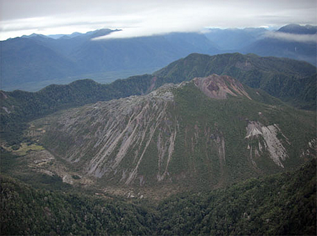
The dome-filled caldera of Chaitén volcano is seen in an aerial view from the south taken prior to an eruption in 2008. The volcano is located 10 km NE of the town of Chaitén on the Gulf of Corcovado. The elliptical 2.5 x 4 km wide summit caldera was formed during an eruption dated at about 9400 years ago. A rhyolitic, 962-m-high obsidian lava dome occupies much of the caldera floor.
Photo by Eric Manríquez T. (Instituto Geográfico Militar).
![]() This image is made available under the Creative Commons BY-NC 4.0 license terms.
This image is made available under the Creative Commons BY-NC 4.0 license terms.

Chaitén