Image GVP-12088
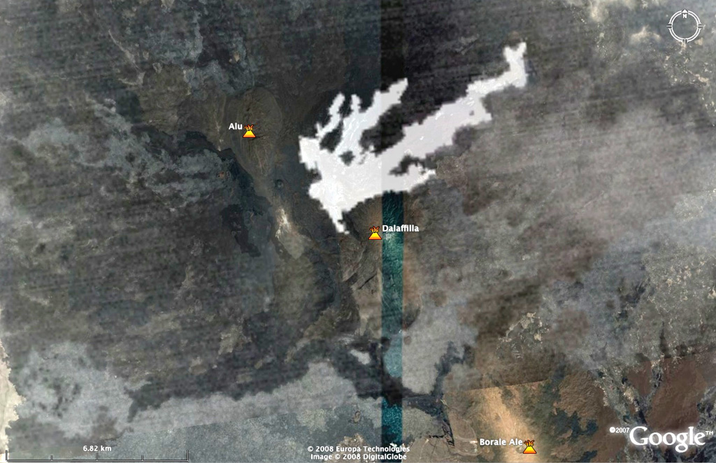
This nighttime ASTER image, taken on 8 November 2008 at 1942 UTC shows in white the lava flows between Dalafilla and Alu volcanoes superimposed on Google Earth imagery. The first historical eruption began on 3 November 2008 from one or more fissures located W and NW, between Dalafilla and Alu volcanoes. An initial sulfur-rich eruption plume was followed by extensive lava flows to the NE. MODIS thermal alerts were detected until 28 December.
NASA ASTER image, 2008 (courtesy of Matthew Patrick, USGS, and Simon Carn (Michigan Tech University).
![]() This image is made available under the Creative Commons BY-NC 4.0 license terms.
This image is made available under the Creative Commons BY-NC 4.0 license terms.
Keywords: remote sensing | lava flow | fissure
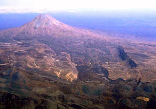
Alu-Dalafilla