Image GVP-12106

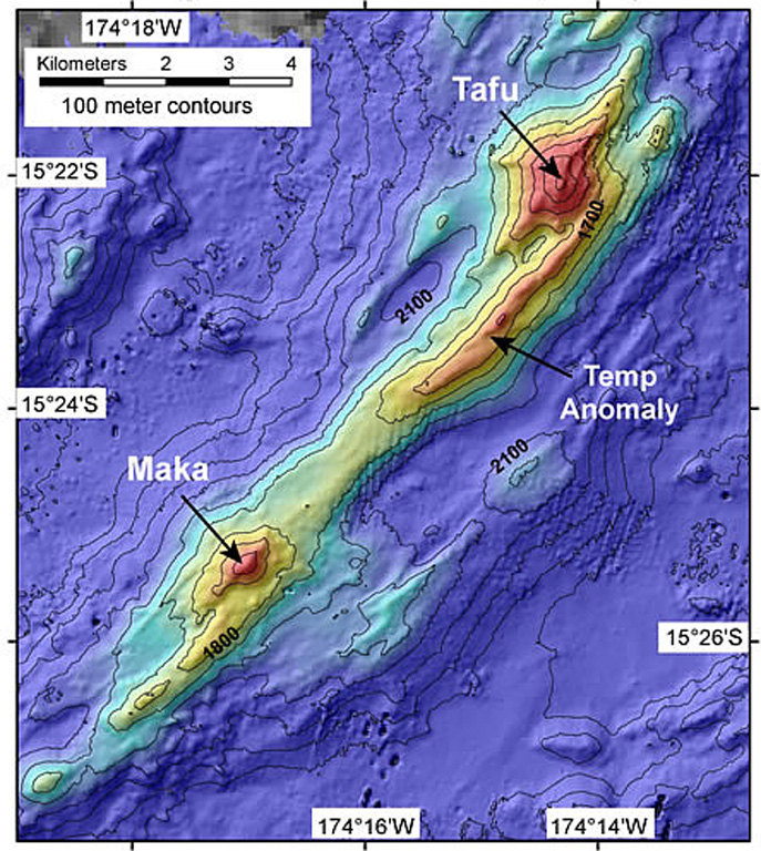
A bathymetric map prepared during a NOAA Vents Program expedition in November 2008 shows two submarine volcanoes, Tafu (Tongan for "source of fire") and Maka (Tongan for "rock"). The volcanoes lie along a NE-SW-trending ridge on the southern part of the back-arc NE Lau Spreading Center (NELSC). The November 2008 expedition discovered submarine hydrothermal plumes consistent with recent (maybe days to weeks) submarine lava effusion from Maka volcano.
Courtesy of NOAA Vents Program, 2008.
![]() This image is made available as a Public Domain Work, but proper attribution is appreciated.
This image is made available as a Public Domain Work, but proper attribution is appreciated.
Keywords: submarine volcano | stratovolcano | remote sensing | technology | DEM | map | bathymetry

Tafu-Maka
