Image GVP-12280
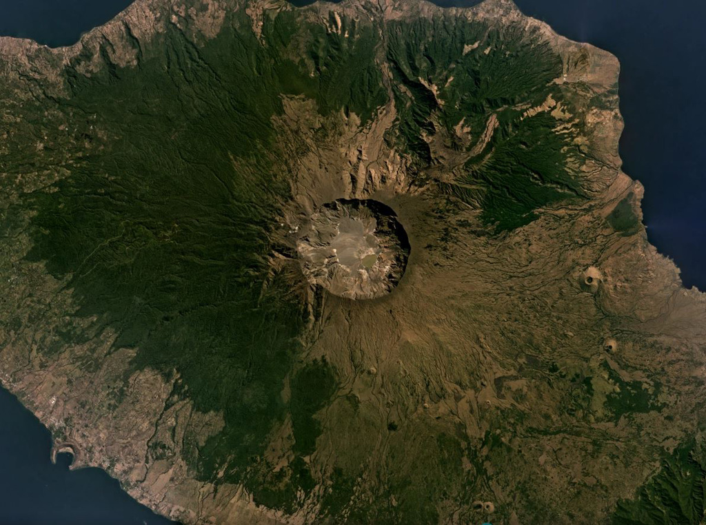
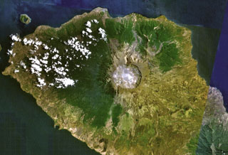
The 6-km-wide and 1-km-deep Tambora caldera that formed during the 1815 eruption is seen in this July 2019 Planet Labs satellite image mosaic (N is at the top). The 1815 eruption ejected around 41 km3 of magma and formed pyroclastic flows that reached the sea on all sides of the 60-km-wide volcanic peninsula of Sumbawa Island, triggering a tsunami.
Satellite image courtesy of Planet Labs Inc., 2019 (https://www.planet.com/).
Copyrighted image used with permission. All Rights Reserved. Contact photographer for any usage requests.
Keywords: caldera
Tambora