Image GVP-12337

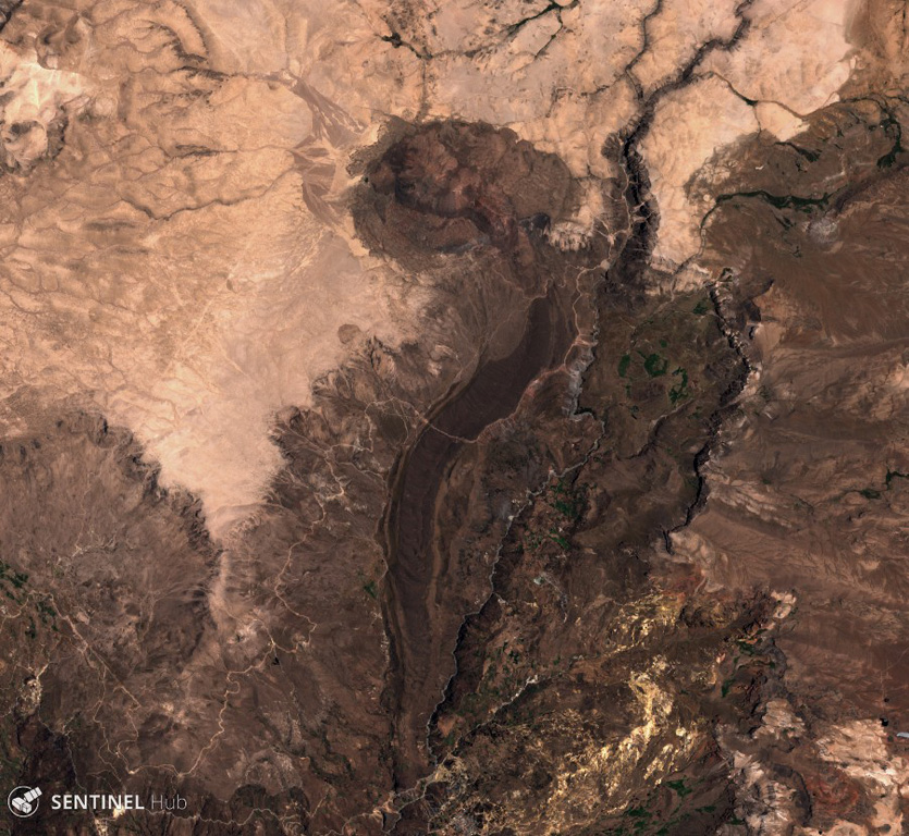
The lava flow down the center of this 3 December 2019 Sentinel-2 satellite image (N is at the top) was erupted from the Cerro Auquihuato scoria cone at its northern terminus. The flow is approximately 10 km long and reaches a thickness of 50 m.
Satellite image courtesy of Copernicus Sentinel Data, 2019.
![]() This image is made available under the Creative Commons BY-SA 4.0 license terms.
This image is made available under the Creative Commons BY-SA 4.0 license terms.
Galleries: Lava Flows
Keywords: lava flow

Cerro Auquihuato
