Image GVP-12373
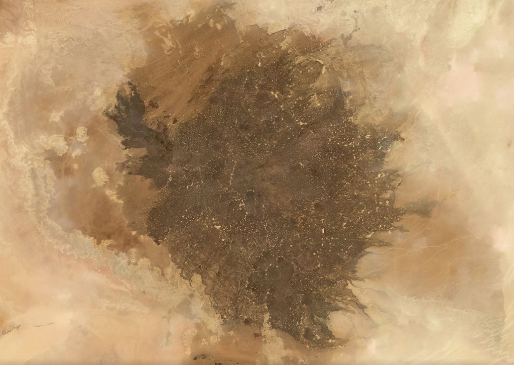
The Al Haruj volcanic province covers around 42,000 km2 in Libya, shown in this November 2019 Planet Labs satellite image monthly mosaic (N is at the top; this image is approximately 350 km across). It contains numerous lava flows, scoria cones, spatter cones, vents including maars, and 47 identified dike segments.
Satellite image courtesy of Planet Labs Inc., 2019 (https://www.planet.com/).
Copyrighted image used with permission. All Rights Reserved. Contact photographer for any usage requests.
Keywords: volcanic field
Haruj