Image GVP-12390
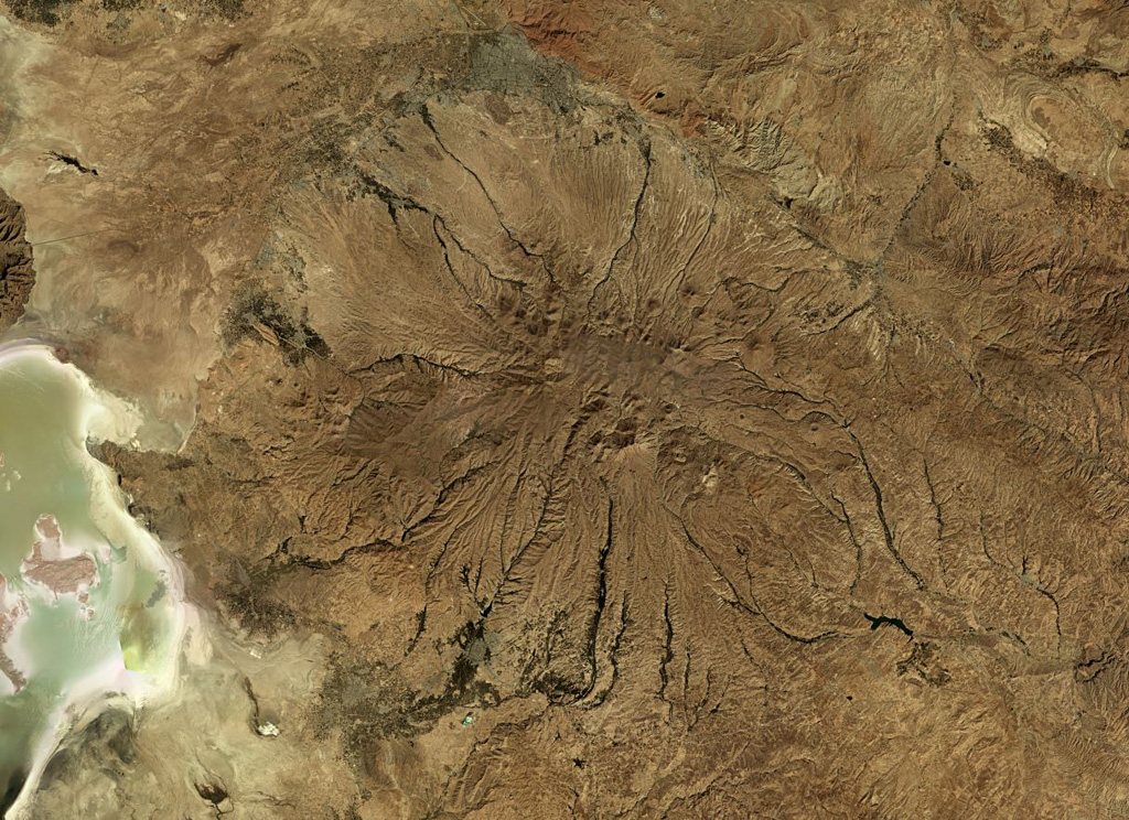
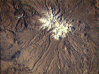
Sahand in NW Iran has heavily eroded flanks, seen in this October 2019 Planet Labs satellite image monthly mosaic (N is at the top; this image is approximately 150 km across). A caldera formed at the summit which has been largely infilled by more recent activity. Eruptive deposits from Sahand were emplaced over an area of around 3,000 km2 and lava domes and smaller cones have formed across the flanks.
Satellite image courtesy of Planet Labs Inc., 2019 (https://www.planet.com/).
Copyrighted image used with permission. All Rights Reserved. Contact photographer for any usage requests.
Keywords: erosion
Sahand