Image GVP-12437
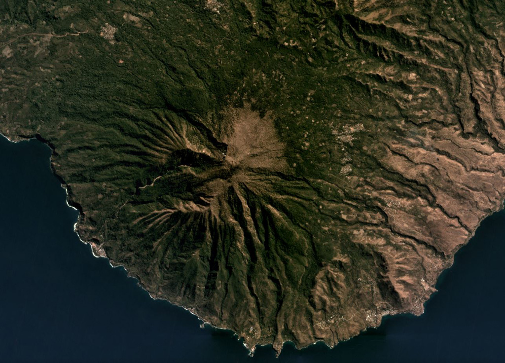
Ililabalekan forms a peninsula in SW Lembata island, seen here in this July 2019 Planet Labs satellite image monthly mosaic (N is at the top; this image is approximately 11 km across). The flanks are extensively eroded and geothermal activity occurs at the summit.
Satellite image courtesy of Planet Labs Inc., 2019 (https://www.planet.com/).
Copyrighted image used with permission. All Rights Reserved. Contact photographer for any usage requests.
Keywords: erosion
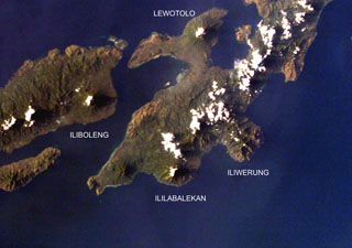
Ililabalekan