Global Volcanism Program | Image GVP-12438
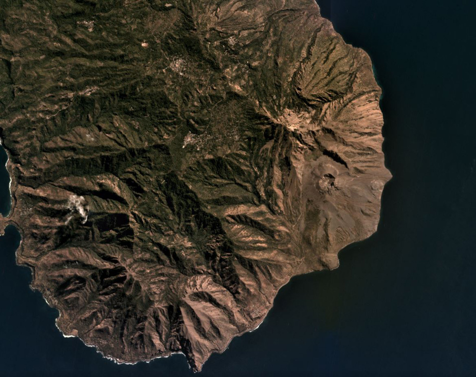
Iliwerung forms a peninsula in southern Lembata island, seen here in this July 2019 Planet Labs satellite image monthly mosaic (N is at the top; this image is approximately 11 km across). The 330 x 400 m recent crater is near the eastern coastline in this view and submarine eruptions have produced ephemeral islands off the SE flank.
Satellite image courtesy of Planet Labs Inc., 2019 (https://www.planet.com/).
Copyrighted image used with permission. All Rights Reserved. Contact photographer for any usage requests.
Keywords: erosion
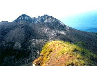
Iliwerung