Image GVP-12489
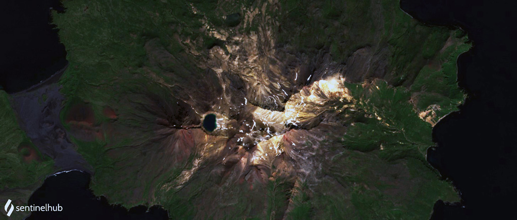
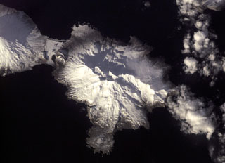
The Tana volcanic complex is the eastern part of Chuginadak Island, shown in this 23 August 2020 Sentinel-2 satellite image (N is at the top; this image is approximately 17 km across). The summit area is a nearly E-W alignment of volcanic centers, with the lake-filled summit crater on the western end. From the western rim of that crater is the E-W Tana fissure, and from there down into the Chuginadak isthmus are additional younger fissures and scoria cones. Cleveland volcano forms the western part of the island.
Satellite image courtesy of Planet Labs Inc., 2020 (https://www.planet.com/).
Copyrighted image used with permission. All Rights Reserved. Contact photographer for any usage requests.
Keywords: crater | crater lake | stratovolcano | fissure
Tana