Global Volcanism Program | Image GVP-12566
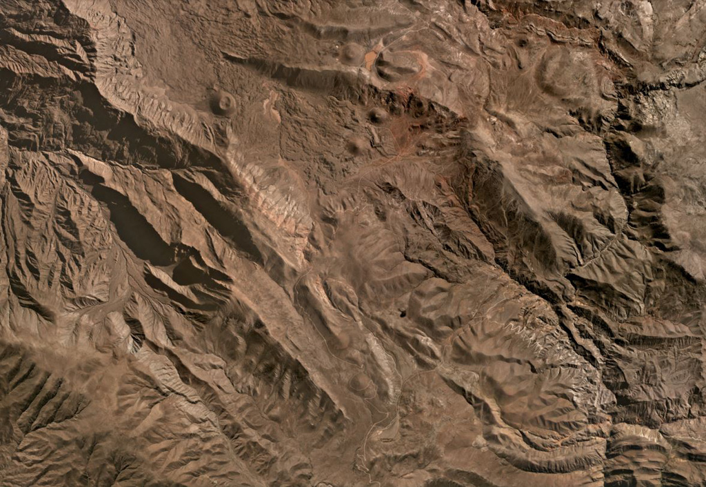
This July 2020 Planet Labs satellite image shows some of the southern Huambo volcanic field (in this monthly mosaic N is at the top; image is approximately 26 km across). Near the top of the image, the western cone is Marbas Grande with a 470-m-wide summit crater. East of that are three cones: Marbas north of the ridge then Marbas Chico I and Marbas Chico II south of the ridge. Around the cones are their lava flows.
Satellite image courtesy of Planet Labs Inc., 2020 (https://www.planet.com/).
Copyrighted image used with permission. All Rights Reserved. Contact photographer for any usage requests.
Keywords: volcanic field | scoria cone
Huambo