Global Volcanism Program | Image GVP-12568
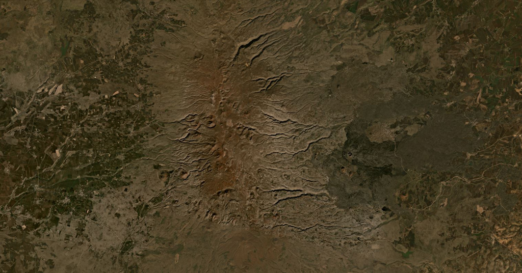
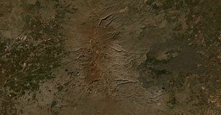
The Karaca Dag/ Karacadağ shield volcano covers around 10,000 km2 in Turkey, with the more recent N-S plateau of scoria cones and lava flows down the center of this January 2020 Planet Labs satellite image monthly mosaic (N is at the top; this image is approximately 63 km across). A younger group of lava flows erupted from vents on the eastern flank, appearing darker with the vents visible.
Satellite image courtesy of Planet Labs Inc., 2021 (https://www.planet.com/).
Copyrighted image used with permission. All Rights Reserved. Contact photographer for any usage requests.
Galleries: Shield Volcanoes
Keywords: volcanic field | scoria cone | lava flow | shield volcano
Karaca Dag