Global Volcanism Program | Image GVP-12643
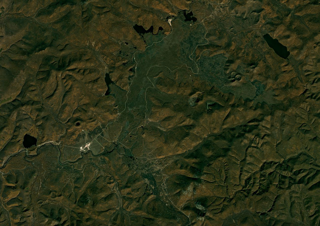
A portion of the Arxan-Chaihe volcanic field spanning approximately 32 km across is shown in this September 2018 Planet Labs satellite image monthly mosaic (N is at the top; this image is approximately 32 km across). There is a NE-SW trend of scoria cones, craters, and maars across the image, including Aershan just north of Tianchizhen town (in the western side of the image), the smaller Dichi lake to the E, the larger Shihaopendi complex crater near the center of this image, and Yanshan and Gaoshan NE of there.
Satellite image courtesy of Planet Labs Inc., 2018 (https://www.planet.com/).
Copyrighted image used with permission. All Rights Reserved. Contact photographer for any usage requests.
Keywords: volcanic field | maar | crater
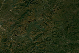
Arxan-Chaihe