Global Volcanism Program | Image GVP-12796
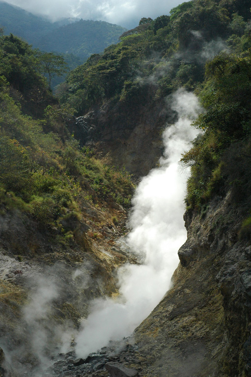
Fumaroles and sulfur deposits on the northern flank of San Vicente (or Chichontepeque) are shown in this 2011 photo. Two geothermal areas are on the N flank, located along two radial faults. These are the surface manifestations of a 12 km2 geothermal reservoir, producing thermal springs and fumaroles.
Photo by Lis Gallant, 2011.
![]() This image is made available under the Public Domain Dedication CC0 license, but proper attribution is appreciated.
This image is made available under the Public Domain Dedication CC0 license, but proper attribution is appreciated.
Galleries: Geothermal Features
Keywords: fumarole | geothermal | emissions | sulfur | gas | volcanic gas | carbon dioxide (CO2)
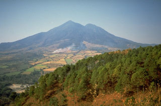
San Vicente