Report on Iwatesan (Japan) — October 1998
Bulletin of the Global Volcanism Network, vol. 23, no. 10 (October 1998)
Managing Editor: Richard Wunderman.
Iwatesan (Japan) Seismic crisis ends on 3 November
Please cite this report as:
Global Volcanism Program, 1998. Report on Iwatesan (Japan) (Wunderman, R., ed.). Bulletin of the Global Volcanism Network, 23:10. Smithsonian Institution. https://doi.org/10.5479/si.GVP.BGVN199810-283240
Iwatesan
Japan
39.853°N, 141.001°E; summit elev. 2038 m
All times are local (unless otherwise noted)
Subsequent to the 3 September earthquake (BGVN 23:09), seismicity was low. Except for a few days, the number of tremors during October was <10/day, about the same level as in February-March 1998. The last tremor was observed on 3 November. This implies that the volcanic seismicity crisis (BGVN 23:09) has ended.
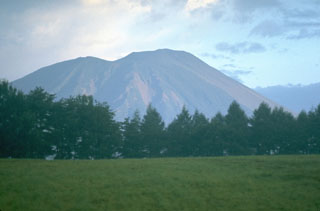
Geological Summary. Viewed from the east, Iwatesan volcano has a symmetrical profile that invites comparison with Fuji, but on the west an older cone is visible containing an oval-shaped, 1.8 x 3 km caldera. After the growth of Nishi-Iwate volcano beginning about 700,000 years ago, activity migrated eastward to form Higashi-Iwate volcano. Iwate has collapsed seven times during the past 230,000 years, most recently between 739 and 1615 CE. The dominantly basaltic summit cone of Higashi-Iwate volcano, Yakushidake, is truncated by a 500-m-wide crater. It rises well above and buries the eastern rim of the caldera, which is breached by a narrow gorge on the NW. A central cone containing a 500-m-wide crater partially filled by a lake is located in the center of the oval-shaped caldera. A young lava flow from Yakushidake descended into the caldera, and a fresh-looking lava flow from the 1732 eruption traveled down the NE flank.
Information Contacts: Yukio Hayakawa, Faculty of Education, Gunma University, Aramaki, Maebashi 371, Japan.