Report on Tangkuban Parahu (Indonesia) — December 2005
Bulletin of the Global Volcanism Network, vol. 30, no. 12 (December 2005)
Managing Editor: Richard Wunderman.
Tangkuban Parahu (Indonesia) Seismic unrest during 12-19 April 2005
Please cite this report as:
Global Volcanism Program, 2005. Report on Tangkuban Parahu (Indonesia) (Wunderman, R., ed.). Bulletin of the Global Volcanism Network, 30:12. Smithsonian Institution. https://doi.org/10.5479/si.GVP.BGVN200512-263090
Tangkuban Parahu
Indonesia
6.77°S, 107.6°E; summit elev. 2084 m
All times are local (unless otherwise noted)
Typically quiet, Tangkubanparahu went into a period of unrest from 12 to 19 April 2005. After that, it became relatively quiet again. The reports during this period did not in general cover an entire day, but rather only 6 or 12 hours. The reports chiefly discussed a seismic crisis and elevated SO2 fluxes. A brief review for this period follows.
Seismic activity increased dramatically beginning on 12 April 2005. Normally about two volcanic eruptions occurred daily. Volcanic earthquakes recorded on 12 April consisted of five deep (type-A events with peak-to-peak amplitudes of 7-24 mm) and 56 shallow (type-B events with peak-to-peak amplitudes of 3-10 mm), with numbers increasing throughout the day. About 8 hours of tremor on 13 April, a swarm of earthquakes took place, of which 111 were deep type-A events and 181 were shallow type-B events. The peak of the activity occurred on 14 April, when the deep events numbered 108 and the shallow events numbered 327. A located hypocenter was 1.6-1.9 km beneath the Domas crater.
Based on the above seismic data, the hazard status for the volcano was raised on 13 April 2005 at 0825 to Level 2, and then at 1300 to Level 3.
The SO2 measurement around Domas crater yielded about 10 metric tons/day (t/d) on 14 April. It was less than 2 t/d on 18 April.
The hazard status of the volcano was downgraded to Level 2 on 19 April 2005 at 1200, and the area was re-opened to the public. The other craters (Upas, Domas, Baru, Jarian) remained closed to the public.
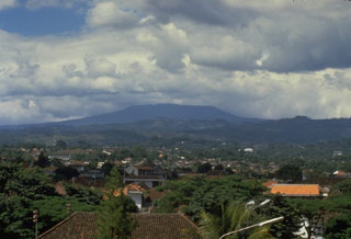
Geological Summary. Gunung Tangkuban Parahu is a broad stratovolcano overlooking Indonesia's former capital city of Bandung. The volcano was constructed within the 6 x 8 km Pleistocene Sunda caldera, which formed about 190,000 years ago. The volcano's low profile is the subject of legends referring to the mountain of the "upturned boat." The Sunda caldera rim forms a prominent ridge on the western side; elsewhere the rim is largely buried by deposits of the current volcano. The dominantly small phreatic eruptions recorded since the 19th century have originated from several nested craters within an elliptical 1 x 1.5 km summit depression.
Information Contacts: Directorate of Volcanology and Geological Hazard Mitigation (DVGHM), Jalan Diponegoro 57, Bandung 40122, Indonesia (URL: http://www.vsi.esdm.go.id/).