Report on Talang (Indonesia) — July 2009
Bulletin of the Global Volcanism Network, vol. 34, no. 7 (July 2009)
Managing Editor: Richard Wunderman.
Talang (Indonesia) Sudden occurrence of over 900 earthquakes on 16-17 August 2009
Please cite this report as:
Global Volcanism Program, 2009. Report on Talang (Indonesia) (Wunderman, R., ed.). Bulletin of the Global Volcanism Network, 34:7. Smithsonian Institution. https://doi.org/10.5479/si.GVP.BGVN200907-261160
Talang
Indonesia
0.979°S, 100.681°E; summit elev. 2575 m
All times are local (unless otherwise noted)
Talang had an increase in seismicity during mid-2009. Minor tremor and emissions of ash and sulfur dioxide (SO2) occurred during 2007 (BGVN 33:02). The Alert Level was lowered to 2 (on a scale of 1-4) on 14 December 2007 based on visual observations and a decrease in earthquakes.
In their report of 17 August the Center of Volcanology and Geological Hazard Mitigation (CVGHM) reported seismic activity between 1430 on 16 August through 0600 on 17 August. On 15 August there were four deep volcanic events and one low-frequency earthquake. Over the next two days they recorded 917 deep volcanic and another 30 shallow volcanic earthquakes, along with continuous tremor. Because of the significant increase in seismic activity, CVGHM increased the Alert Level from 2 to 3. It also stepped up its monitoring and assigned an emergency response team to conduct an onsite evaluation. Foggy conditions prevented visual observations. Visitors and tourists were advised not to go within 3-km of the summit.
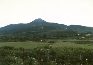
Geological Summary. Talang, which forms a twin volcano with the extinct Pasar Arbaa volcano, lies ESE of the major city of Padang and rises NW of Dibawah Lake. Talang has two crater lakes on its flanks; the largest of these is 1 x 2 km wide Danau Talang. The summit exhibits fumarolic activity, but which lacks a crater. Historical eruptions have mostly involved small-to-moderate explosive activity first documented in the 19th century that originated from a series of small craters in a valley on the upper NE flank.
Information Contacts: Center of Volcanology and Geological Hazard Mitigation (CVGHM), Jalan Diponegoro 57, Bandung 40122, Indonesia (URL: http://vsi.esdm.go.id/).