Report on Purace (Colombia) — March 1977
Natural Science Event Bulletin, vol. 2, no. 3 (March 1977)
Managing Editor: David Squires.
Purace (Colombia) Eruption drops ash 7 km away on 19 March
Please cite this report as:
Global Volcanism Program, 1977. Report on Purace (Colombia) (Squires, D., ed.). Natural Science Event Bulletin, 2:3. Smithsonian Institution. https://doi.org/10.5479/si.GVP.NSEB197703-351060
Purace
Colombia
2.3095°N, 76.3948°W; summit elev. 4650 m
All times are local (unless otherwise noted)
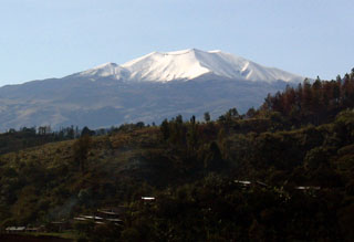
An eruption on 19 March 1977 deposited fine gray ash as far as 7 km from the crater according to press reports. No casualties or damage were reported.
Geological Summary. Puracé is an active andesitic volcano with a 600-m-diameter summit crater at the NW end of the Los Coconucos Volcanic Chain. This volcanic complex includes nine composite and five monogenetic volcanoes, extending from the Puracé crater more than 6 km SE to the summit of Pan de Azúcar stratovolcano. The dacitic massif which the complex is built on extends about 13 km NW-SE and 10 km NE-SW. Frequent small to moderate explosive eruptions reported since 1816 CE have modified the morphology of the summit crater, with the largest eruptions in 1849, 1869, and 1885.
Information Contacts: E. Ramirez, Univ. Javeriana, Bogotá.