Report on Toya (Japan) — May 1979
Scientific Event Alert Network Bulletin, vol. 4, no. 5 (May 1979)
Managing Editor: David Squires.
Toya (Japan) Seismicity declines slightly
Please cite this report as:
Global Volcanism Program, 1979. Report on Toya (Japan) (Squires, D., ed.). Scientific Event Alert Network Bulletin, 4:5. Smithsonian Institution. https://doi.org/10.5479/si.GVP.SEAN197905-285030
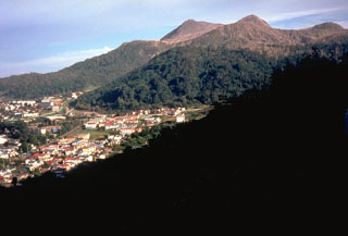
Toya
Japan
42.544°N, 140.839°E; summit elev. 733 m
All times are local (unless otherwise noted)
Seismicity declined from an average of 64 events/day in March to 61/day in April. No explosions have occurred since October 1978.
Geological Summary. Usuzan, one of Hokkaido's most well-known volcanoes, is a small stratovolcano located astride the southern topographic rim of the 110,000-year-old Toya caldera. The center of the 10-km-wide, lake-filled caldera contains Nakajima, a group of forested Pleistocene andesitic lava domes. The summit of the basaltic-to-andesitic edifice of Usu is cut by a somma formed about 20-30,000 years ago when collapse of the volcano produced a debris avalanche that reached the sea. Dacitic domes erupted along two NW-SE-trending lines fill and flank the summit caldera. Three of these domes, O-Usu, Ko-Usu and Showashinzan, along with seven crypto-domes, were erupted during historical time. The 1663 eruption of Usu was one of the largest in Hokkaido during historical time. The war-time growth of Showashinzan from 1943-45 was painstakingly documented by the local postmaster, who created the first detailed record of growth of a lava dome.
Information Contacts: JMA, Tokyo.