Report on Curacoa (Tonga) — December 1979
Scientific Event Alert Network Bulletin, vol. 4, no. 12 (December 1979)
Managing Editor: David Squires.
Curacoa (Tonga) Eruption site between Tafahi and Curacao Reef generates black plume
Please cite this report as:
Global Volcanism Program, 1979. Report on Curacoa (Tonga) (Squires, D., ed.). Scientific Event Alert Network Bulletin, 4:12. Smithsonian Institution. https://doi.org/10.5479/si.GVP.SEAN197912-243102
Curacoa
Tonga
15.62°S, 173.67°W; summit elev. -33 m
All times are local (unless otherwise noted)
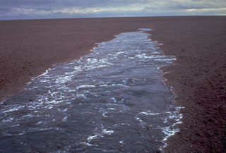
Further details from Tongan authorities indicated that submarine activity reported by a fisherman occurred 14 May about 13 km N of Tafahi at the N end of the Tonga Islands. [This location is 14 km S of Curacoa Reef]. Thick black "smoke" reached a height of about 100 m, and the eruption may have been rhythmic or spasmodic. At about the same time, a small earthquake was felt on Nuiatoputapu, ~25 km from the eruption site.
Geological Summary. A submarine volcano south of Curacoa Reef at the northern end of the Tofua volcanic arc was first observed in eruption in 1973. Explosive eruptions, which produced large rafts of dacitic pumice, covering an area of more than 100 km2, were observed from the island of Tafahi, 27 km SSW. The eruption site was located about 6.5 km SW of Curacoa Reef. Multiple submarine vents are apparently located in this area; a second eruption was reported in 1979 from a location 13 km N of Tafahi.
Information Contacts: D. Woodhall and R. Richmond, Mineral Resources Dept., Fiji; D. Tuni, Ministry of Natural Resources, Solomon Islands.