Report on Talang (Indonesia) — 12 December-18 December 2007
Smithsonian Institution / US Geological Survey
Weekly Volcanic Activity Report, 12 December-18 December 2007
Managing Editor: Sally Sennert.
Please cite this report as:
Global Volcanism Program, 2007. Report on Talang (Indonesia) (Sennert, S, ed.). Weekly Volcanic Activity Report, 12 December-18 December 2007. Smithsonian Institution and US Geological Survey.
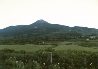
Talang
Indonesia
0.979°S, 100.681°E; summit elev. 2575 m
All times are local (unless otherwise noted)
CVGHM lowered the Alert Level at Talang to 2 (on a scale of 1-4) on 14 December based on visual observations and a decrease in the number of earthquakes. During 7-10 December, observations of the summit were limited by inclement weather. On 11 December, "smoke" rose to a maximum altitude of 3.3 km (10,800 ft) a.s.l. from the Main crater. Plumes were also observed from South crater and Gabuo Atas solfatara field. Visitors were advised not to go within a 2-km radius of the summit.
Geological Summary. Talang is part of a large volcanic edifice just NW of Dibawah Lake. An older volcanic peak, Pasar Arbaao, is ~1.5 km W. The steep-sided Talang cone exhibits fumarolic activity but has no crater; it appears to have grown within a larger caldera. Recorded eruptions have mostly involved small-to-moderate explosive activity, first documented in the 19th century, that originated from a series of small craters in a valley on the NE flank.
Source: Pusat Vulkanologi dan Mitigasi Bencana Geologi (PVMBG, also known as CVGHM)