Global Volcanism Program | Image GVP-00820
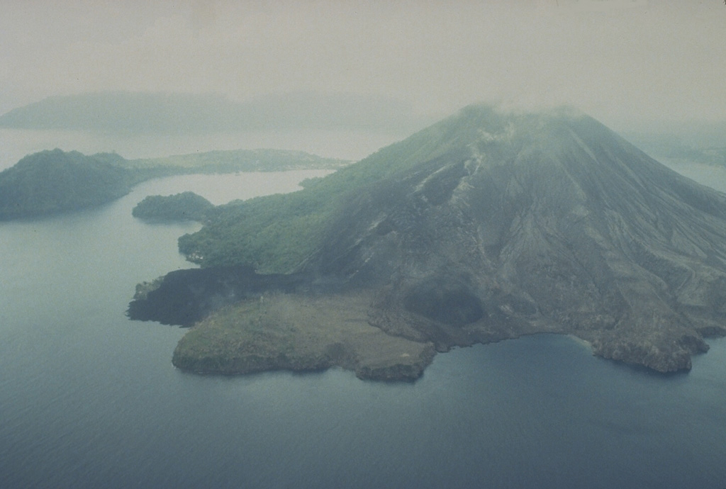
The May 1988 north-flank lava flows reached the sea at two locations. The flows originated from a fissure that can be seen descending diagonally to the left from the summit. The Pasir Besar lava flow was erupted from a vent at about 300-350 m elevation and reached the sea along almost the full length of Pasir Besar bay at the right-center. The Batu Angus lava flow originated from a vent at 200 m elevation and reached the sea at the left-center after overrunning houses in the villages of Kalobi and Batu Angus.
Photo by Tom Casadevall, 1988 (U.S. Geological Survey).
![]() This image is made available as a Public Domain Work, but proper attribution is appreciated.
This image is made available as a Public Domain Work, but proper attribution is appreciated.
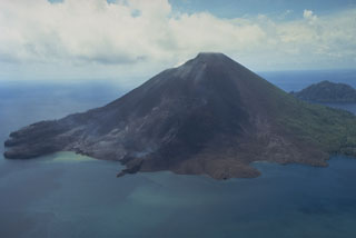
Banda Api