Global Volcanism Program | Image GVP-02990
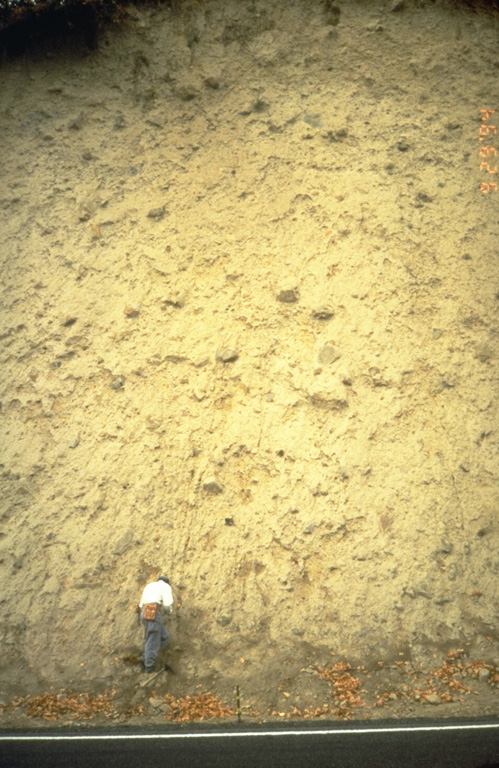
A thick lahar deposit resulted from a 100,000-year-old debris avalanche produced by a collapse of the N side of Mount Hood. It swept down the Hood River valley and traveled across the Columbia River, temporarily damming it to a depth of 30 m. This thick outcrop that contains rounded boulders in a clay-rich matrix, is located N of Underwood, Washington, on the other side of the Columbia River.
Photo by Willie Scott, 1994 (U.S. Geological Survey).
![]() This image is made available as a Public Domain Work, but proper attribution is appreciated.
This image is made available as a Public Domain Work, but proper attribution is appreciated.
Galleries: Volcanic Outcrops | Lahars
Keywords: lahar | deposit | outcrop | field work | volcanologist
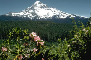
Hood