Global Volcanism Program | Image GVP-02991
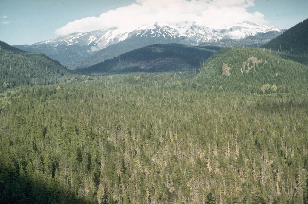
The flat-bottomed, forested floor of the upper Sandy River is underlain by debris flow deposits associated with growth of the Crater Rock lava dome on the upper SW flank of Mount Hood. Tree-ring dating places the age of these deposits during the mid-1780's. The lahars traveled as far as the Columbia River and the shallow, sediment-choked lower Sandy River was observed shortly after emplacement of the lahars by the Lewis and Clark expedition.
Photo by Richard Fiske, 1959 (Smithsonian Institution).
![]() This image is made available under the Public Domain Dedication CC0 license, but proper attribution is appreciated.
This image is made available under the Public Domain Dedication CC0 license, but proper attribution is appreciated.
Keywords: deposit

Hood