Global Volcanism Program | Image GVP-03257
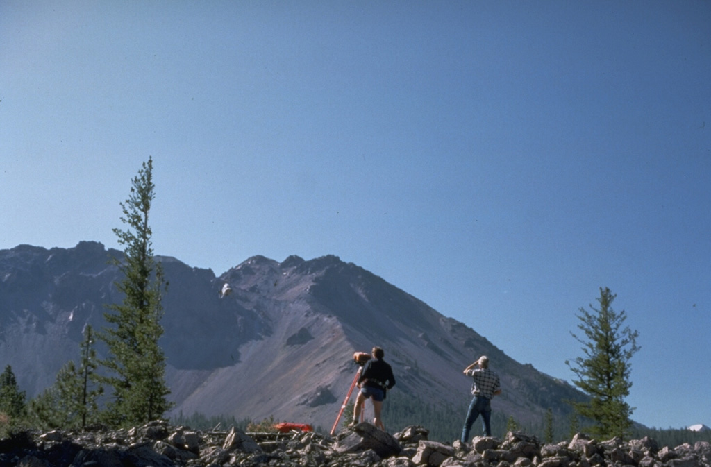
U.S. Geological Survey volcanologists conduct Electronic Distance Measurement surveys NW of Lassen Peak as part of a monitoring program at Lassen volcano. Chaos Crags lava dome rises in the background. The large scarp at the left was formed during collapse of part of Chaos Crags about 1650 CE.
Photo by Lyn Topinka, 1984 (U.S. Geological Survey).
![]() This image is made available as a Public Domain Work, but proper attribution is appreciated.
This image is made available as a Public Domain Work, but proper attribution is appreciated.
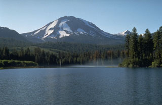
Lassen Volcanic Center