Global Volcanism Program | Image GVP-03266
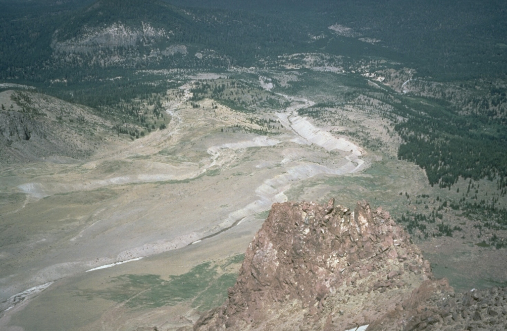
The Devastated Area swept by pyroclastic surges during an explosion on May 22, 1915 is seen here from the NE flank of Lassen Peak. The May 22 produced an eruption plume as high as 9 km, a pyroclastic surge that swept the area seen here, and a series of three lahars, the two largest of which swept down Lost Creek to the NE. The area as far as the distant flank of forested Raker Peak at the upper left was affected by the May 22 pyroclastic surge. Revegetation has begun to cover the distal parts of the May 1915 deposits.
Photo by Bill Chadwick, 1981 (U.S. Geological Survey).
![]() This image is made available as a Public Domain Work, but proper attribution is appreciated.
This image is made available as a Public Domain Work, but proper attribution is appreciated.
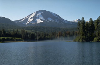
Lassen Volcanic Center