Global Volcanism Program | Image GVP-03271
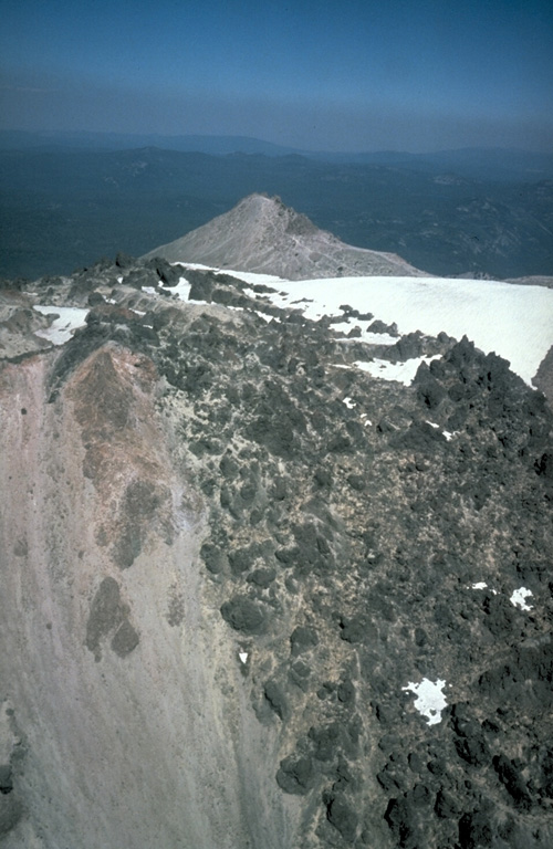
In May 1915, a year after the start of the eruption, lava flowed through low points in the eastern and western crater rims and descended the upper flanks. The western flow shown in this photo reached about 500 m down the flank. On 19-20 May 1915 the eastern flow fragmented and mixed with snowmelt, forming a debris flow that traveled 35 km down Lost Creek and Hat Creek valleys, destroying bridges and farm buildings.
Photo by Bill Chadwick, 1981 (U.S. Geological Survey).
![]() This image is made available as a Public Domain Work, but proper attribution is appreciated.
This image is made available as a Public Domain Work, but proper attribution is appreciated.
Keywords: lava flow
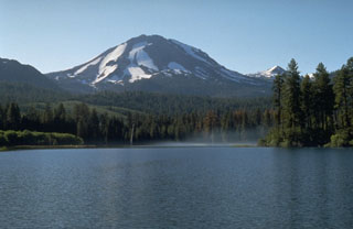
Lassen Volcanic Center