Image GVP-03520
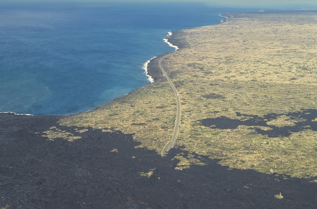
The Laeapuki lava flow on Kīlauea overran the coastal highway in April 1993, barely missing the Laeapuki ruins between the highway and the coast. After this June 1994 photo looking SW along the coast, lava flows overran the ruins. Lava flows from the East Rift Zone eruption that began in 1983 first reached the coast in 1986. By 1995 the flows had created 11 km of new coastline.
Photo by Paul Kimberly, 1994 (Smithsonian Institution).
![]() This image is made available under the Public Domain Dedication CC0 license, but proper attribution is appreciated.
This image is made available under the Public Domain Dedication CC0 license, but proper attribution is appreciated.
Galleries: Human Impacts
Keywords: human impacts | lava flow | lava | damaged roads | lava delta

Kilauea