Global Volcanism Program | Image GVP-04762
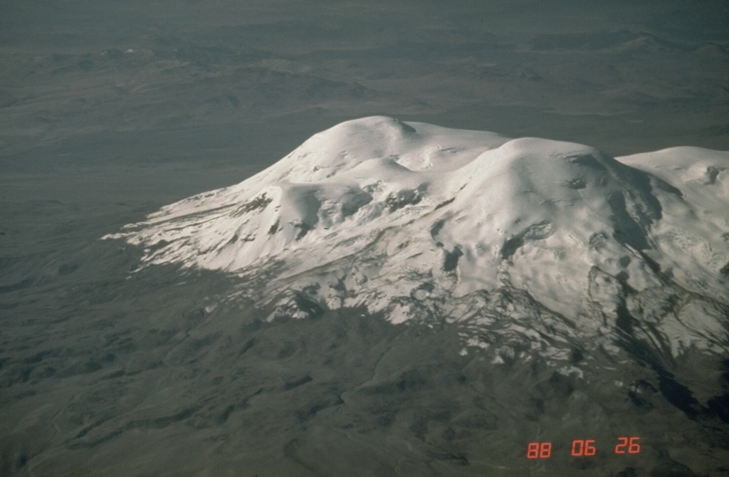
The 6377-m-high summit of Coropuna volcano, Perú's highest, forms the peak at the center of the photo. It lies north of a 20-km-long E-W chain of peaks forming the ice-covered massif. The present glacial icecap covers an area of 130 km2 and descends to 5800 m on the south and 5300 m on the north. Dramatic lateral moraines from older glaciers extend up to 10 km and reach below 4500 m. Steep canyons on the volcano's flanks create among the world's highest topographic relief, up to 4000 m over a horizontal distance of 15 km.
Photo by Norm Banks, 1988 (U.S. Geological Survey).
![]() This image is made available as a Public Domain Work, but proper attribution is appreciated.
This image is made available as a Public Domain Work, but proper attribution is appreciated.
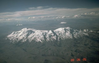
Coropuna