Global Volcanism Program | Image GVP-05061
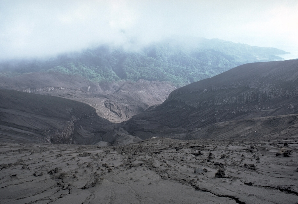
The barren area in the foreground that extends down valleys to the coast was swept by pyroclastic flows during the 1979 eruption of Soufrière volcano on St. Vincent. This photo was taken on June 1979 from the south crater rim, looking towards the west coast off the island at the right. Explosive eruptions April 13-25 were followed by lava dome growth from May to October.
Photo by Richard Fiske, 1979 (Smithsonian Institution).
![]() This image is made available under the Public Domain Dedication CC0 license, but proper attribution is appreciated.
This image is made available under the Public Domain Dedication CC0 license, but proper attribution is appreciated.
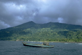
Soufrière St. Vincent