Image GVP-05267
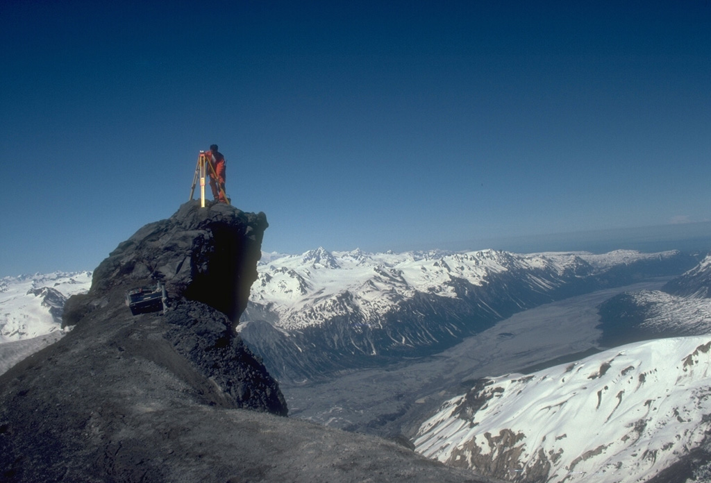
An Alaska Volcano Observatory geologist sets up GPS (Global Positioning System) instrumentation on the N flank of Redoubt volcano. The GPS receiver calculates an extremely accurate location through satellite-based triangulation. This helps pinpoint locations for electronic distance measurements that detect deformation that may be related to eruptive activity. The Drift River valley extending away from the volcano to the NE was covered with pyroclastic-flow and mudflow deposits from the 1989-90 eruption.
Photo by Game McGimsey, 1991 (Alaska Volcano Observatory, U.S. Geological Survey).
![]() This image is made available as a Public Domain Work, but proper attribution is appreciated.
This image is made available as a Public Domain Work, but proper attribution is appreciated.
Galleries: Volcano Monitoring
Keywords: volcanologist | technology | volcano monitoring | field work | deformation
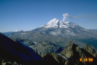
Redoubt