Image GVP-06567
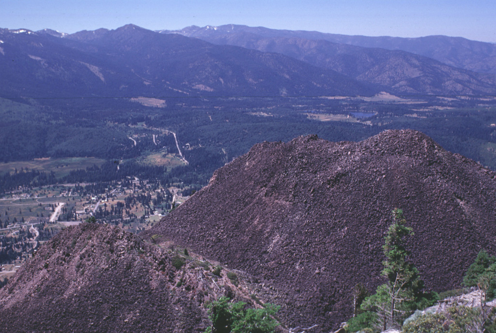
Four overlapping dacite domes form the Black Buttes lava dome on the lower western flank of Mount Shasta. This view looks NW from the summit of Black Buttes, at the tops of two of the domes with the outskirts of the town of Weed below. Pyroclastic flows accompanying formation of Black Buttes extend 10 km S and 5 km N, and underlie currently populated areas.
Photo by Lee Siebert, 1998 (Smithsonian Institution).
![]() This image is made available under the Public Domain Dedication CC0 license, but proper attribution is appreciated.
This image is made available under the Public Domain Dedication CC0 license, but proper attribution is appreciated.
Galleries: Lava Domes
Keywords: lava dome
Shasta