Global Volcanism Program | Image GVP-06631
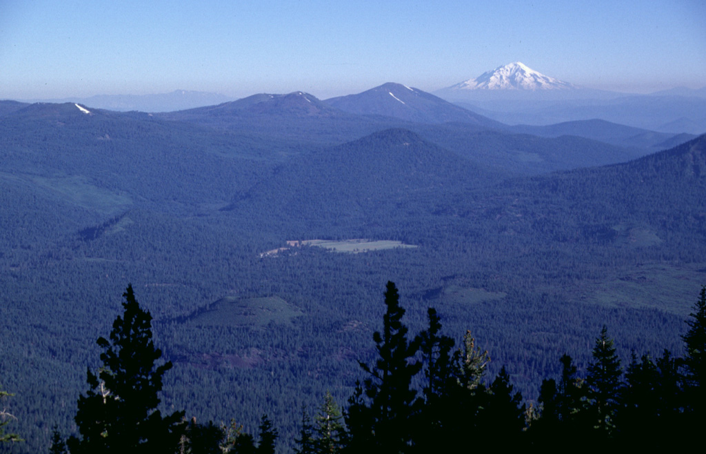
The two small Pleistocene cinder cones in the Hat Creek valley, just to the right of the two highest trees in the foreground, are viewed here from West Prospect Peak. The cones are among a series of young volcanic vents located north of Lassen Peak and fed lava flows that traveled to the north (right). Three forest-covered Pleistocene volcanoes can be seen in the background, Sugarloaf (above the green meadow in the center), Logan Mountain (left-center), and Burney Mountain (right-center). Snow-capped Mount Shasta is at the upper right.
Photo by Lee Siebert, 1998 (Smithsonian Institution).
![]() This image is made available under the Public Domain Dedication CC0 license, but proper attribution is appreciated.
This image is made available under the Public Domain Dedication CC0 license, but proper attribution is appreciated.
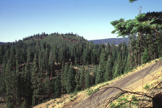
Potato Butte