Global Volcanism Program | Image GVP-07036

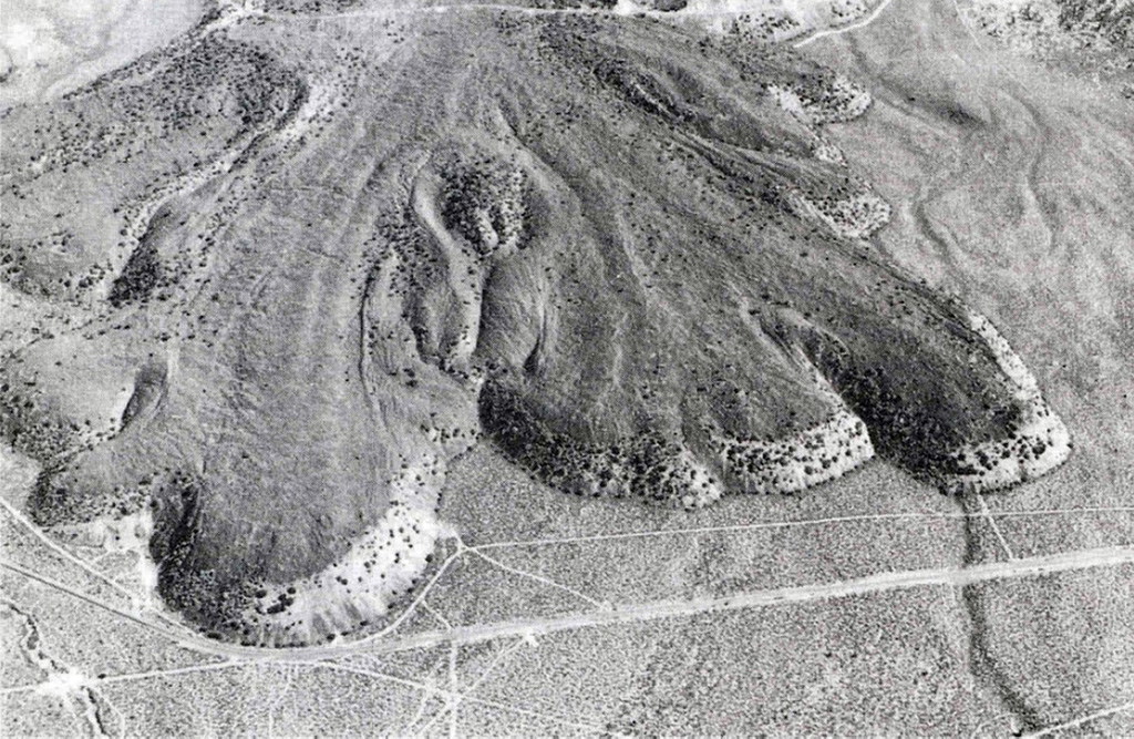
The Lava Park lava flow erupted about 9,300 years ago from a vent on the flank of Shastina, on the NW flank of Mount Shasta. The basaltic-andesite flow is about 6 km long and 110 m thick at the terminus. It overlies a wide apron of pyroclastic flow deposits emplaced about 9,700 years ago. The area shown is about 2 km wide and Highway 97 is seen near the bottom.
Photo by Dan Miller, 1980 (U.S. Geological Survey).
![]() This image is made available as a Public Domain Work, but proper attribution is appreciated.
This image is made available as a Public Domain Work, but proper attribution is appreciated.
Galleries: Lava Flows
Keywords: lava flow

Shasta
