Global Volcanism Program | Image GVP-07542
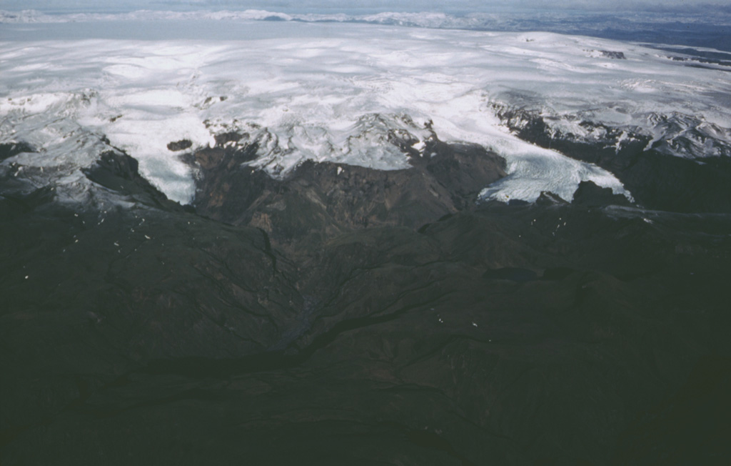
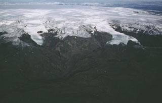
Katla volcano, near the southern end of Iceland's Eastern Volcanic Zone, comprises a central volcano, a 100 km2 caldera beneath the Mýrdalsjökull icecap, plus fissure systems. Valley glaciers descend from the summit toward the coastal plain in this aerial view from the SSW. Katla has very frequent eruptions. Explosive eruptions from the central volcano produce large volumes of tephra and are frequently accompanied by damaging glacier-outburst floods called jökulhlaups. Effusive eruptions producing large volumes of lava are characteristic of the fissure system.
Photo by Oddur Sigurdsson, 1985 (Icelandic National Energy Authority).
![]() This image is made available under the Creative Commons BY-NC 4.0 license terms.
This image is made available under the Creative Commons BY-NC 4.0 license terms.
Katla