Global Volcanism Program | Image GVP-08137
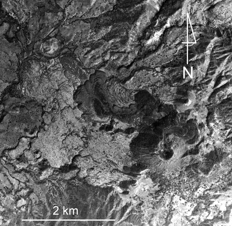
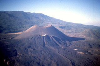
Jorullo volcano and associated lava flows in the Michoacan-Guanajuato volcanic field are visible in the bottom of this photo. Four NE-SW-trending vents flank the main cone, which erupted during 1759-1774. The 1759-74 lava flows appear in varying shades of gray, with the initial (and largest) flows being lighter in color (due to partial ash cover), and the most recent ash-free lava being darker and extending to the NW and NE. Jorullo lies about 80 km SE of Parícutin.
Aerial photo by Comisión de Estudios del Territorio Nacional (CETENAL).
![]() This image is made available under the Public Domain Dedication CC0 license, but proper attribution is appreciated.
This image is made available under the Public Domain Dedication CC0 license, but proper attribution is appreciated.
Keywords: lava flow | scoria cone | crater | volcanic field
Michoacán-Guanajuato