Global Volcanism Program | Image GVP-09568
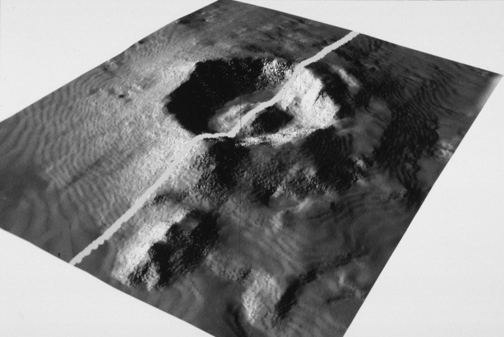
The submarine topography of the 6-7 km Myojin Knoll caldera is seen in this SeaBeam image viewed from the SW. The white line marks the E-W track of the survey vessel. A voluminous deposit of coarse pumice from the caldera-forming eruption mantles the caldera rim and its outer flanks. A post-caldera lava dome rises 250 m above the caldera floor.
Image by Fumitoshi Murakami (Geological Survey of Japan, courtesy of Richard Fiske, Smithsonian Institution).
![]() This image is made available under the Public Domain Dedication CC0 license, but proper attribution is appreciated.
This image is made available under the Public Domain Dedication CC0 license, but proper attribution is appreciated.
Galleries: Submarine Volcanoes
Keywords: submarine volcano | caldera

Kita-Bayonnaise