Global Volcanism Program | Image GVP-10029
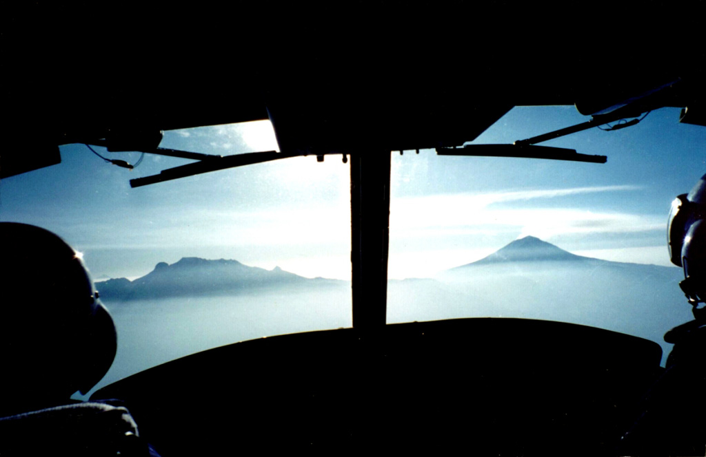
A view from a helicopter heading east towards Popocatépetl (right) and Iztaccíhuatl (left) in March 2000 during a monitoring flight. Opposing winds above 6 km give the gas plume from Popocatépetl an "S" shape. The Centro Nacional de Prevención de Desastres (CENAPRED) is engaged in an active monitoring program on Popocatépetl using instrumentation to evaluate seismic, geodetic, and geochemical parameters of the ongoing eruption.
Photo by Servando De la Cruz-Reyna, 2000 (Universidad Nacional Autónoma de México).
![]() This image is made available under the Creative Commons BY-NC 4.0 license terms.
This image is made available under the Creative Commons BY-NC 4.0 license terms.
Keywords: volcano monitoring
Iztaccíhuatl

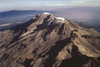
Popocatépetl